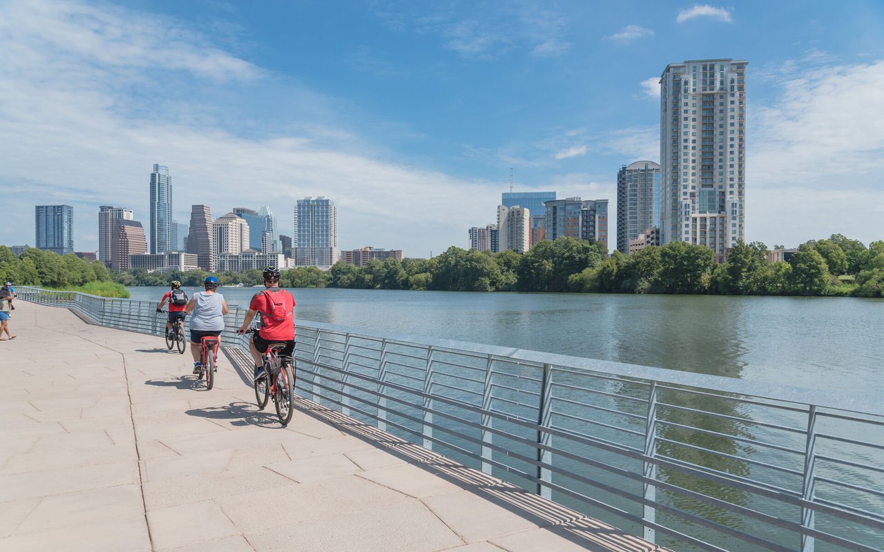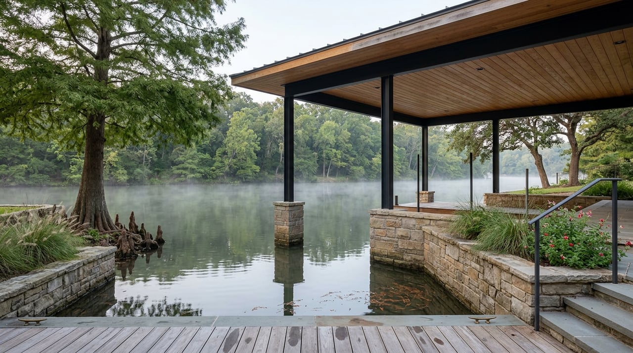
Lake Austin has a reputation for staying still. It holds a steadier waterline than Lake Travis, which visibly rises and falls with rainfall and reservoir management, so the shoreline you remember from June usually looks the same in October. That steadiness is part of why people who live along Lake Austin Boulevard, Pearce Road, and the coves off City Park Road talk about the lake the way they talk about a good neighbor: dependable, unhurried, always there.
This particular stretch of summer, though, dependable isn't quite the word for it. In the past month, the city closed Lake Austin under a waterway ban tied to dam operations, then reopened it while keeping a downstream stretch restricted. A favorite lakeside restaurant is still working through an ordering system that arrived with new ownership a few years back. And the park that anchors the lake's north end is about to lose its running water for a stretch that overlaps with its busiest season. None of this shows up on a water-level gauge. It shows up in whether you can actually get to the water, park a boat, or find a working restroom, and this stretch of summer those things have moved around more than the lake itself ever does.
What Actually Closed, and When
Three separate systems hit friction points in almost the same window, for three unrelated reasons.
In mid-July, floodgate operations at Mansfield Dam and Tom Miller Dam triggered a citywide waterway ban. The city then reopened Lake Austin itself to recreational, commercial, and navigational use, while extending the ban for the stretch south of Tom Miller Dam, meaning Lady Bird Lake, through 5 p.m. on July 23. The city's own notice explains why the downstream stretch needed more time: higher, faster releases from LCRA-managed dams can stir up sediment, hide debris beneath the surface, and create currents strong enough to catch even experienced boaters off guard.
At almost the same time, storms left debris at the boat ramps inside Emma Long Metropolitan Park, the city's only lake park with camping, and the ramps stayed closed through July 26 while maintenance crews cleared them. The docks reopened the next day.
Then, layered on top of both of those, the park confirmed that water utilities, meaning showers, sinks, water fountains, and hose bibs, will go offline for planned maintenance sometime this month and stay that way into October. The city has not posted an exact start date, only that portable toilets will be onsite for day use and camping in the meantime. For a park that draws its heaviest crowds in July and August, that timing lands right in the middle of peak season.
| Window | What Changed | Where |
|---|---|---|
| Mid-July 2026 | City reopened Lake Austin; extended the ban on Lady Bird Lake (south of Tom Miller Dam) through July 23 | Lake Austin / Lady Bird Lake |
| Through July 26 | Boat ramps closed for storm debris cleanup | Emma Long Metropolitan Park |
| July 27 | Docks reopened | Emma Long Metropolitan Park |
| August through October 2026 | Water utilities off for planned maintenance, portable toilets only | Emma Long Metropolitan Park |
None of these things caused each other. A dam operation, a storm cleanup, and a maintenance schedule do not usually share a calendar, and one of them did not even apply to Lake Austin proper once the city sorted it out. This year they overlapped anyway, and if you were planning a camping weekend or a boat launch around what you assumed was a stable lake, you needed to already know these were separate systems on separate timelines, not one continuous closure.
The Café That Kept Its Rhythm
Set against all that closing and reopening, Mozart's Coffee on Lake Austin Boulevard has not missed a beat. Every Tuesday night from 8 to 11 p.m., the deck turns over to Austin's open mic community, guitars and poems included. Its Movies on the Lake series turns Thursdays into an outdoor cinema on the water, with free deck seating and the option to rent a paddleboard, tube, or donut boat and watch from the lake itself rather than the shore.
That contrast matters more than it looks. The park's access points and utilities answer to LCRA hydrology and city maintenance budgets. A privately run coffee shop with a 300-seat deck answers to its own calendar, and this year that calendar simply kept going while the public infrastructure around it paused. If you live here, the practical takeaway is that not everything on the lake runs on the same schedule, and knowing which parts are municipal and which are private tells you a lot about what to expect when something goes sideways.
Ski Shores' Quiet Software Update
Ski Shores Cafe has been on the lake's edge since 1954, and for most of that run it operated the way a lake shack is supposed to: walk up, order from a person, eat with your feet in the sand. That changed after 2022, when Austin hospitality group McGuire Moorman Lambert bought both Ski Shores locations and converted the Barton Springs site into a second location of its casual restaurant Lou's, keeping the Lake Austin spot under the original name.
The visible result for regulars has been a shift to QR-code ordering, no table service, and payment before the food arrives. Reviewers who have been coming since the 1980s describe standing at the host stand without being greeted, then scanning a code to place an order that used to come from a person who knew their usual. The Border Burger, long the top seller, is gone from the menu. None of that has slowed business down. The dock still fills with boats, the wait still runs long on weekends, and the view is still the reason people keep coming back. But the way you get a burger there in 2026 is not the way you got one in 2016, and that's a small, specific thing worth knowing before you show up expecting table service.
Where Lake Austin Actually Ends
Red Bud Isle sits just south of Tom Miller Dam, at the exact point where Lake Austin ends and Lady Bird Lake begins. That boundary line explains two things people who walk their dogs there every week rarely think about.
First, it means the 13-acre, off-leash park was sitting inside the stretch the city kept restricted through July 23, even after Lake Austin itself had already reopened upstream. Second, and more permanently, it means Red Bud Isle inherits Lady Bird Lake's citywide rule against human swimming. Dogs are free to jump off the bank and swim, which is the entire reason the park exists, but the water itself falls under the same no-swimming rule that covers the rest of Lady Bird Lake for people.
None of that changes the half-mile loop trail, the fishing piers, or the reason most visitors actually go, which is to let a dog off leash somewhere shaded and surrounded by water on three sides. But it's a reminder that a single dam creates two different rulebooks a few hundred yards apart, and most people standing at Red Bud Isle have no idea they're technically on Lady Bird Lake rather than the lake the park's own name and reputation suggest.
The Actual Lesson
Lake Austin's steady waterline is a fact about elevation, not a promise about how the shoreline actually functions day to day. The lake itself didn't rise or fall this summer any more than it usually does. What moved was everything built around it and everything drawn on top of it: a citywide ban tied to dam operations upstream, a park's plumbing tied to a maintenance budget, a restaurant's ordering system tied to new ownership, a swimming rule that quietly changes the moment you cross from one side of Tom Miller Dam to the other, and a coffee shop calendar that answered to none of it.
For anyone who actually lives along this lake, the useful habit isn't checking the water level. It's knowing which parts of your routine here answer to the city, which answer to LCRA, which answer to a boundary line most maps don't bother to draw, and which answer to a private business that can change its own hours on its own schedule. This particular stretch of summer made all of that obvious at once. Most years, it doesn't have to.
If you're weighing what it actually means to own here, on the water or a few streets back from it, Chris Krueger has spent enough time on this stretch of the Colorado River to walk you through the parts that don't show up on a listing sheet. Let's work together.